Depending on where you go, travel to Eritrea can take place at almost any time of the year. Generally speaking, high season is October through March. The shoulder season is April and September. Low season is May through August, when it is very hot.
Geography
At about 48,000 square miles in size (roughly the equivalent of England or the US state of Pennsylvania), Eritrea lies just above the Horn of Africa, with a coastline of about 620 miles and the 126-island Dahalak Archipelago. Djibouti borders Eritrea to the southeast, Ethiopia to the southwest, Sudan to the northwest, and the Red Sea to the northeast. It has three distinct geographical zones – western lowlands, central highlands, coastal plain and eastern escarpment. Levels of rainfall in Eritrea will vary according to season, elevation and location. Journeys by Design currently designs safaris to Asmara and Keren, Massawa and the Dahlak Archipelago.
Seasons
The eastern zone, which includes Ertirea’s easterly escarpment, coastal plain, its many islands, and the city of Massawa, is by far the hottest part of the country. Note that temperatures here range between 30C to 40C in the hot season (June to August). In January southerly monsoons bring the area its main rains. Most of the area receives less than 200mm of rainfall each year, though count your blessings: in parts of the south-eastern Dankalia region, temperatures can reach up to 50C in the shade and rainfall is virtually zero.
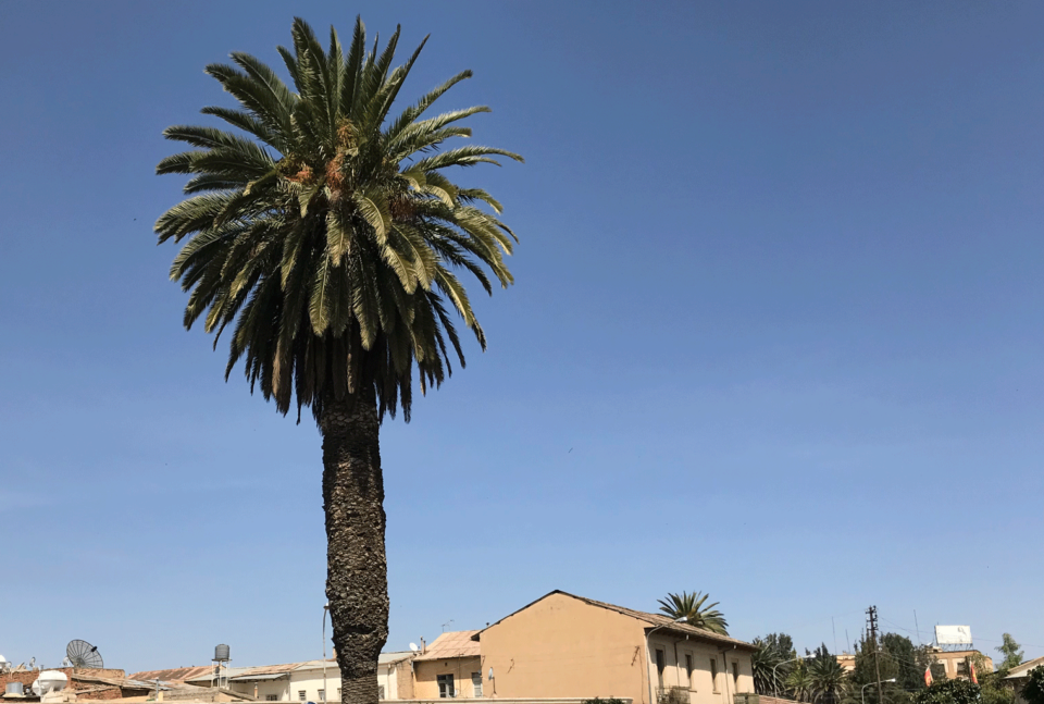
In the country’s central highland area, which includes the city of Keren and the capital city Asmara, the tropical highland climate is temperate. Temperatures average 18C. May is the hottest month, where temperatures can reach around 30C. The coolest months are December to February, when temperatures can reach freezing point during the night. Thick mists sometimes sweep in during this time. Given the high altitude, day and night temperatures can differ by up to 20C. June to September is when the most rain falls and average annual rainfall is around 540mm.
In the western lowlands, rainfall – an annual average of 500mm – is similar to that in the highlands and temperatures range between 30oC and 40oC in the hot months, which are April to June, and 13C to 35C in the coolest month, which is December. June through August are the wettest months.